|
|
|
| FL Maps > County > Seminole |
Click on a thumbnail image to view a full size version of that map.
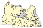
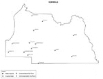
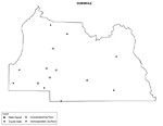
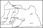
Seminole County is Florida's 50th county, established on April 25, 1913, from a segment of Orange County. It gains its name from the Native Americans who refused to be assimilated into Spanish culture. The term is likely derived from the term cimarrones, and describes animals, plants, and human slaves who refuse domestication. Sanford is the county seat.
For earlier maps of this area, visit the Orange County map gallery.
|
Florida Waterways: Seminole County Outline without Labels,
2008 |

|
Seminole "Abstract" Style Maps in 30 Styles,
2008 |

|
Seminole County "Fun" Maps in 30 Styles,
2008 |
|
Seminole County Cities with Labels,
2009 |
|
Seminole County Cities Outline,
2009 |
|
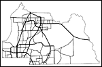
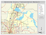
Seminole County Road Network- Black and White,
2009 |
|
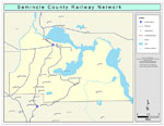
Seminole County Railway Network- Black and White,
2009 |
|
Seminole County Railway Network- Color,
2009 |
|
Seminole County Road Network- Color,
2009 |
|
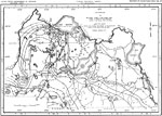
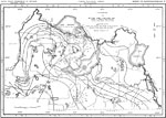
Piezometric Surface in Seminole County,
January 1954 |
|
Piezometric Surface in Seminole County,
June 1956 |
| First | Previous |
| FL Maps > County > Seminole |
Maps ETC
is a part of the
Educational Technology Clearinghouse
Produced by the
Florida Center for Instructional Technology
© 2007
College of Education
,
University of South Florida