|
|
|
| FL Maps > County > Wakulla |
Click on a thumbnail image to view a full size version of that map.
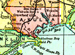
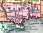
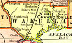
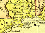
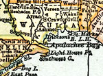
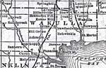
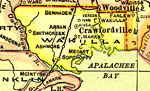
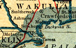
Wakulla County is Florida's 23rd county, established on March 11, 1843, from a segment of Leon County. The origins of its name is unknown, except that it probably comes from a Timucuan word. Crawfordville is the county seat.
For earlier maps of this area, visit the Leon County map gallery.
|
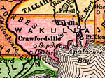
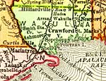
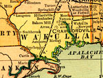
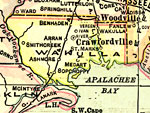
Wakulla County,
1894 |
|
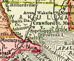
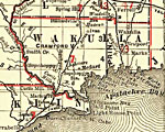
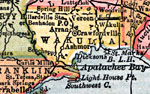
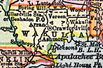
Wakulla County,
1895 |
|
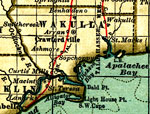
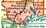
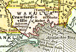
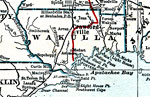
Wakulla County,
1897 |
|
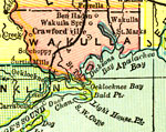
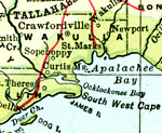
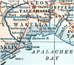
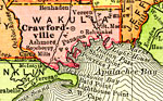
Wakulla County,
1898 |
|
Wakulla County,
1898 |
|
Wakulla County,
1898 |
|
Wakulla County,
1899 |
|
Wakulla County,
1900 |
|
Wakulla County,
1900 |
|
Florida Railroads - Wakulla County,
1900 |

|
Wakulla County,
1902 |
|
Wakulla County,
1904 |
|
Wakulla County,
1907 |
|
Wakulla County,
1909 |
|
Wakulla County,
1910 |
|
Wakulla County,
1911 |
|
Wakulla County,
1914 |
|
Wakulla County,
1916 |
|
Wakulla County,
1916 |
|
Wakulla County,
1917 |
|
Wakulla County,
1917 |
|
Wakulla County,
1920 |
|
Wakulla County,
1920 |
|
Wakulla County,
1921 |
|
Wakulla County,
1921 |
| First | Previous | Next | Last |
| FL Maps > County > Wakulla |
Maps ETC
is a part of the
Educational Technology Clearinghouse
Produced by the
Florida Center for Instructional Technology
© 2007
College of Education
,
University of South Florida