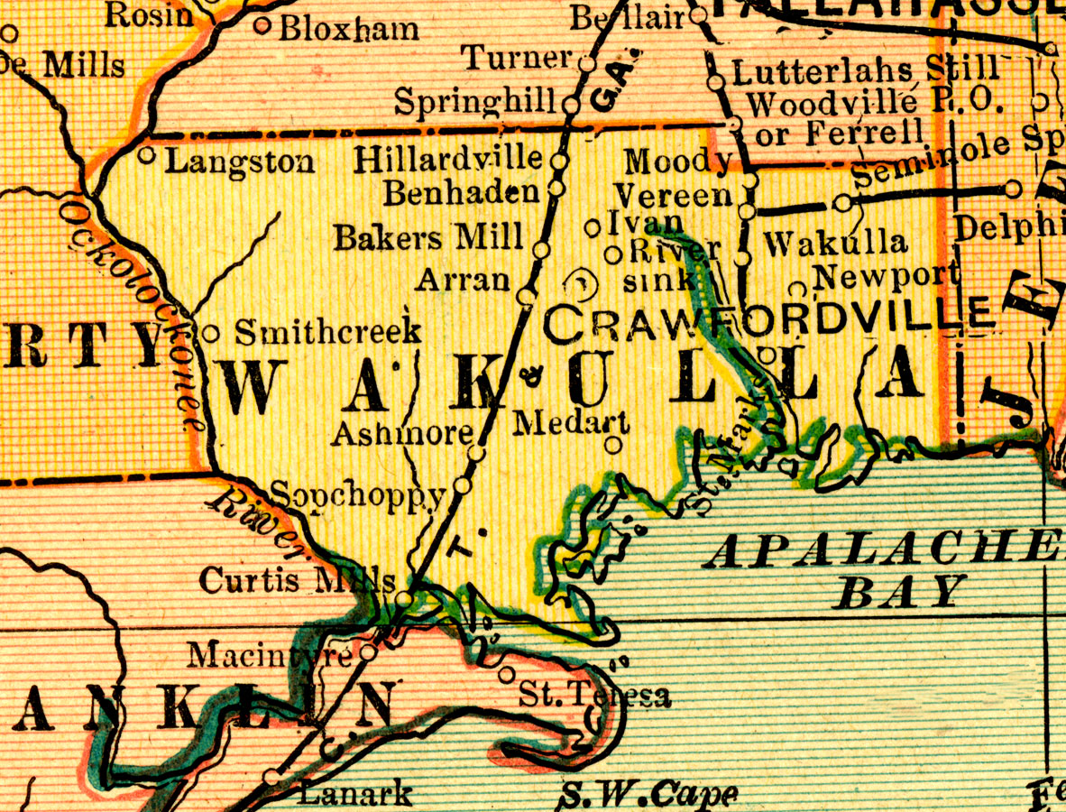
Description: A map of Wakulla County showing county lines, the county seat (Crawfordville), and railroads connecting the major cities current to 1909.
Place Names: Wakulla, Wakulla , Crawfordville
ISO Topic Categories: transportation, inlandWaters, boundaries, oceans
Keywords: Wakulla County, physical, political, transportation, physical features, county borders, major political subdivisions, railroads, transportation, inlandWaters, boundaries, oceans, Unknown,1909
Source: George F. Cram, Cram's Superior Reference Atlas of the World (Chicago, IL: George F. Cram, 1909)
Map Credit: Courtesy the private collection of Roy Winkelman. |
|