|
|
|
| FL Maps > Local > Bradford |
Click on a thumbnail image to view a full size version of that map.
|
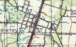
Lawtey,
1918 |
|
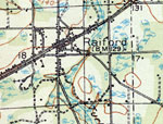
Raiford,
1918 |
|
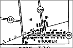
Brooker,
1936 |
|
Brooker 2,
1936 |
|
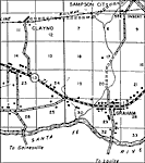
Graham,
1936 |
|
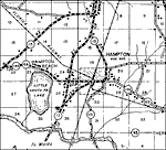
Hampton,
1936 |
|
Lawtey,
1936 |
|
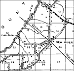
New River,
1936 |
|
Sampson City,
1936 |
|
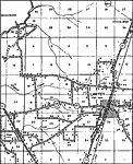
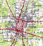
Starke,
1936 |
|
Theressa,
1936 |
|
Hampton,
1949 |
|
Starke,
1949 |
| FL Maps > Local > Bradford |
Maps ETC
is a part of the
Educational Technology Clearinghouse
Produced by the
Florida Center for Instructional Technology
© 2007
College of Education
,
University of South Florida