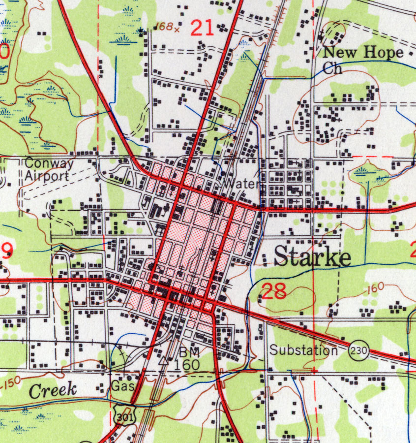
Description: This is a map of Starke in Bradford County, Florida. It shows elevation, roads, railroads, inland waters and locations of dwellings, churches, schools, businesses, an airport, a substation, gas and water. Detail view from a United States Geological Survey map. Key to USGS maps.
Place Names: Bradford, Starke, New Hope Church
ISO Topic Categories: elevation, location, inlandWaters, transportation
Keywords: Starke, physical, transportation, topographical, roads, railroads, elevation, location, inlandWaters, transportation, Unknown,1949
Source:
Map Credit: Courtesy of the Pennsylvania State University Library's Map Library |
|