|
|
|
| FL Maps > Local > Bay |
Click on a thumbnail image to view a full size version of that map.
|
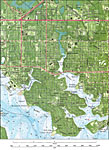
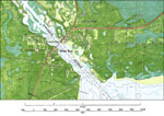
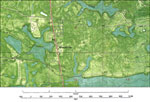
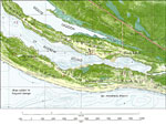
Glenwood, Millville, and Cedar Grove,
1982 |

|
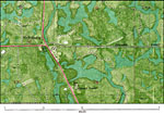
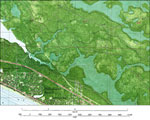
Lynn Haven,
1982 |
|
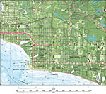
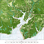
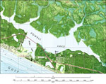
Panama City,
1982 |
|
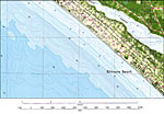
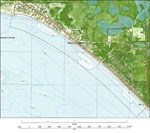
Biltmore Beach,
1982 |
|
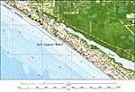
Gulf Lagoon Beach,
1982 |
|
Panama City Beach,
1982 |
|
Laguna Beach Detail,
1982 |
|
Panama City Beach, North,
1982 |
|
Lynn Haven North,
1982 |
|
Southport Detail,
1982 |
|
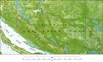
Vicksburg,
1982 |
|
Burnt Mill Creek,
1982 |
|
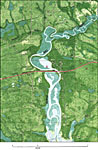
West Bay,
1982 |
|
Woodville,
1982 |
|
Hollywood Beach,
1982 |
|
Powell Lake,
1982 |
|
Mexico Beach,
1982 |
|
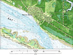
St. Andrew Point,
1982 |
|
Tyndall Air Force Base,
1982 |
|
Beacon Beach,
1982 |
|
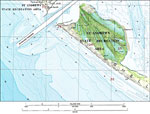
St. Andrews State Recreation Area,
1982 |
| First | Previous |
| FL Maps > Local > Bay |
Maps ETC
is a part of the
Educational Technology Clearinghouse
Produced by the
Florida Center for Instructional Technology
© 2007
College of Education
,
University of South Florida