|
|
|
| FL Maps > Local > Miami-Dade |
Click on a thumbnail image to view a full size version of that map.
|
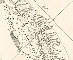
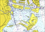
Detail - Preliminary chart of the northeastern part of the Gulf of Mexico,
1861 |
|
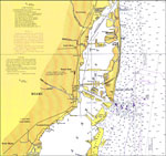
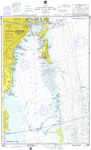
Miami Harbor and Approaches,
1921 |
|
Miami and Miami Beach,
1921 |
|
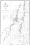
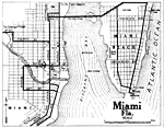
Miami, Florida,
1921 |
|
Miami,
1936
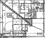
Miami,
1974 |
|
Miami to Elliott Key,
1975 |
|
Key Biscayne,
1975 |
|
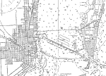
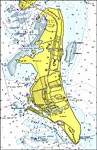
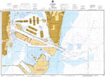
Port of Miami,
1975 |
|
Miami Harbor,
1983 |
| FL Maps > Local > Miami-Dade |
Maps ETC
is a part of the
Educational Technology Clearinghouse
Produced by the
Florida Center for Instructional Technology
© 2007
College of Education
,
University of South Florida