| Home > Maps > Duval City and Local > Jacksonville, 1864 | |
|
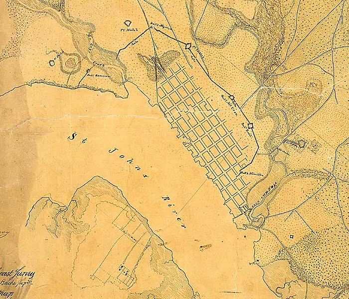
Detailed view of the city from a map of Jacksonville created by the U.S.
War Department from a U.S. Coast Survey in April 1864.
|
|
Map Credit: Courtesy of the National Archives and Records Administration.
|
| Home > Maps > Duval City and Local > Jacksonville, 1864 |
Exploring
Florida: A Social Studies Resource for Students and Teachers
Produced by the Florida Center for Instructional
Technology,
College of Education, University of South Florida © 2002.