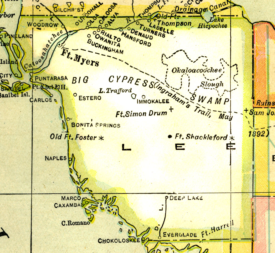
Description: A map of Lee County showing county lines, the county seat (Fort Myers), and railroads connecting the major cities current to 1921.
Place Names: Lee, Ft. Myers, Sanibel, Captiva, Bonita Springs, Estero, Woodrow, Pineland, Puntarassa, Fort Simon Drum, Deep Lake, Everglade, Chokolokee, Marco, Caxambas, Carlos
ISO Topic Categories: boundaries, inlandWaters, oceans, transportation
Keywords: Lee County, physical, political, transportation, physical features, county borders, railroads, boundaries, inlandWaters, oceans, transportation, Unknown,1921
Source: George F. Cram, (Chicago, IL: George F. Cram Company, 1921) 46
Map Credit: Courtesy the private collection of Roy Winkelman. |
|