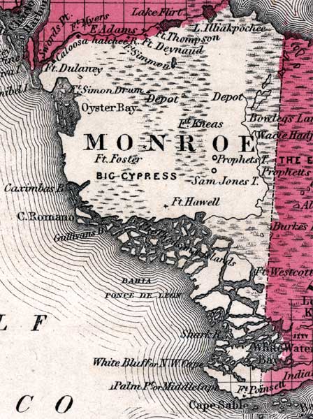
Description: This is a map of Monroe County mainland, current to 1860. It shows cities and towns, inland water such as the Ponce de Leon Bay, and more.
Place Names: Monroe, Cape Romano, Cape Sable, Ponce De Leon
ISO Topic Categories: boundaries, inlandWaters, oceans
Keywords: Monroe Mainland, physical, political, historical, physical features, county borders, boundaries, inlandWaters, oceans, Unknown,1860
Source: Johnson, A.J., Johnson's New Illustrated Family Atlas (New York, NY: Johnson and Browning, 1860) 40
Map Credit: Courtesy the private collection of Roy Winkelman. |
|