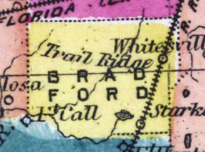
Description: This detail of a 1873 map of Florida, Georgia, and South Carolina shows county lines of the period, and Florida railroad routes between Fernandina and Cedar Keys, forts, and outlines major waterways for Bradford County. The major features of the detail are Whitesville, Fort Call, and Starke.
Place Names: Bradford, Ft Call, Starke, Whitesville, Fort Call, Trail Ridge,
ISO Topic Categories: boundaries, inlandWaters, oceans, transportation
Keywords: Bradford County, physical, political, transportation, physical features, major political subdivisions, county borders, railroads, boundaries, inlandWaters, oceans, transportation, Unknown,1873
Source: Simon J. Martenet, New topographical atlas of the State of Ohio (, : Stedman, Brown & Lyon/H.H. Lloyd and Co., 1873) 89
Map Credit: Courtesy of the private collection of Roy Winkelman |
|