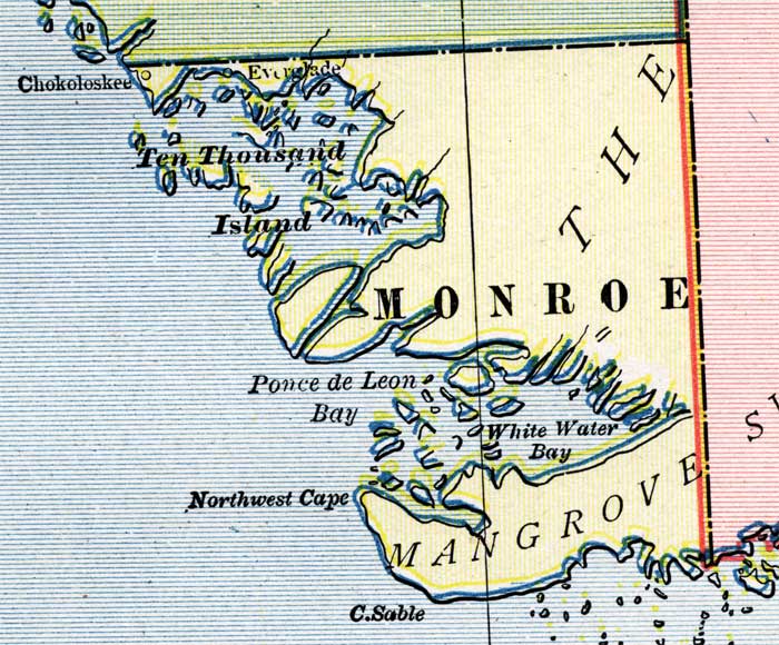
Description: This is a detail of a map of Florida, displaying county borders, county seats, and railroads current to 1902 for the mainland of Monroe County. Major and minor cities are shown, as well as major waterways. The features of the map include Cape Sable, Ten Thousand Islands, and White Water Bay.
Place Names: Monroe, Ten Thousand Islands, Chokolockee, Everglade, Ponce De Leon, White Water Bay, Cape Sable,
ISO Topic Categories: boundaries, oceans, inlandWaters, transportation
Keywords: Monroe County - Mainland, physical, political, transportation, physical features, county borders, railroads, boundaries, oceans, inlandWaters, transportation, Unknown,1902
Source: George Franklin Cram, Cram's Atlas (Chicago, Il: George F. Cram, 1902)
Map Credit: Courtesy the private collection of Roy Winkelman. |
|