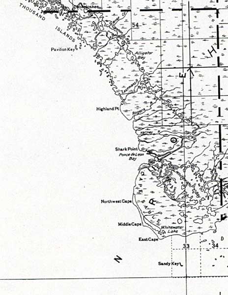
Description: This detail of a map of Florida shows railroads and major cities and towns current to 1932 for the mainland of Monroe County. Major waterways are shown, as well as lakes, town, islands, and marsh. Other notable features are Seminole Indian Reservations, canals, and railroads. Features included in this detail are Pavilion Key, Highland Point, and Shark Point.
Place Names: Monroe, Pavillion Ley, Highland Point, Shark Point, Ponce De Leon Bay, Northwest Cape, Middle Cape, East Cape, Sandy Key
ISO Topic Categories: boundaries, transportation, inlandWaters, oceans
Keywords: Monroe County - Mainland, physical, political, transportation, swamps, everglades, wetlands, physical features, county borders, railroads, boundaries, transportation, inlandWaters, oceans, Unknown,1932
Source: , (, : US Department of the Interior Geological Survey, 1932)
Map Credit: Courtesy the private collection of Roy Winkelman. |
|