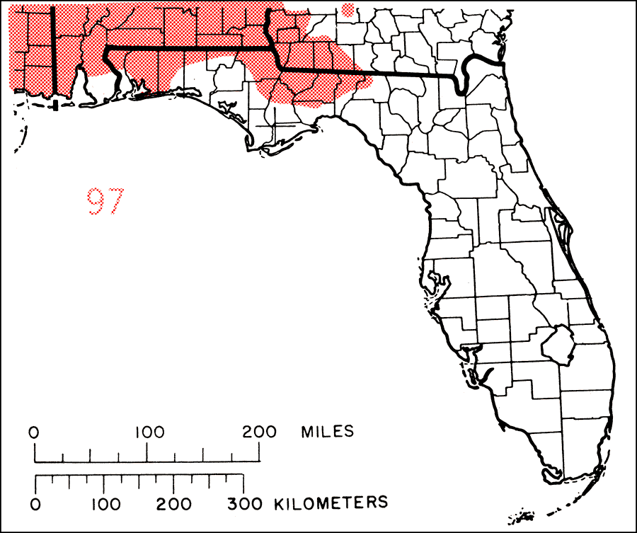
Description: This is a map showing the distribution of the Oxydendrum aboreum or sourwood in Florida. "Sw. Pa. to s. Ohio and s. Indiana, s. to w. Kentucky, w. Tennessee, Mississippi, and Louisiana, e. to nw. Florida and n. to e. Georgia, se. Va. and se. Md." —Elbert L. Little, Jr. For more information, read the introduction to the Atlas of United States Trees Vol. 5 Florida.
Place Names: Temperate Hardwoods I-O, natural distribution of native tree species
ISO Topic Categories: biota, boundaries, environment
Keywords: Oxydendrum aboreum or sourwood, physical, political, forestry, trees, county borders, biota, boundaries, environment, Unknown,1978
Source: Elbert L. Little, Jr., Atlas of United States Trees Volume 5 Florida (Washington, D.C.: United States Government Printing Office, 1978)
Map Credit: United States Government Printing Office |
|