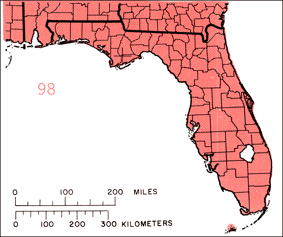
Description: This is a map showing the distribution of the Persea borbonia or redbay in Florida. "Coastal plain from s. Delaware, se. Maryland, and se. Va., s. to s. Florida including Florida Keys, and w. to Louisiana and e. and s. Texas, also sw. Arkansas. Also Bahamas (Grand Bahamas Is.)." —Elbert L. Little, Jr. For more information, read the introduction to the Atlas of United States Trees Vol. 5 Florida.
Place Names: Temperate Hardwoods P-R, natural distribution of native tree species
ISO Topic Categories: biota, boundaries, environment
Keywords: Persea borbonia or redbay, physical, political, forestry, trees, county borders, biota, boundaries, environment, Unknown,1978
Source: Elbert L. Little, Jr., Atlas of United States Trees Volume 5 Florida (Washington, D.C.: United States Government Printing Office, 1978)
Map Credit: United States Government Printing Office |
|