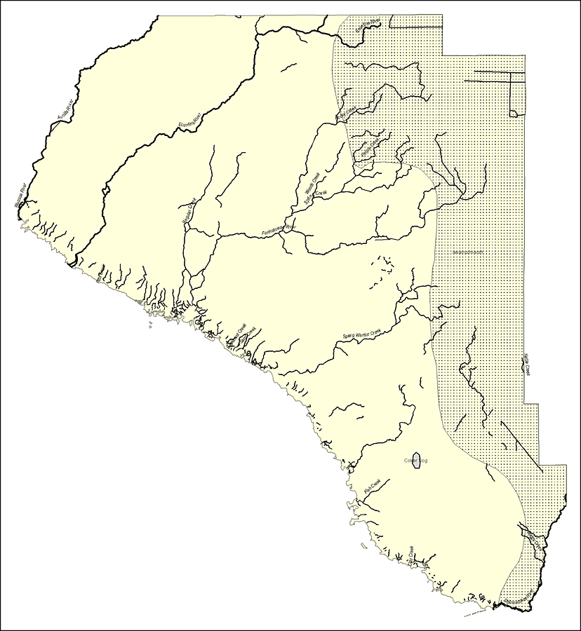
Description: This map was created by FCIT and shows the waterways of Taylor County. All major rivers, streams, creeks, lakes, and swamps are labeled. This map features Econfina River, Rocky Creek, Pimple Creek, Woods Creek, Spring Creek, Aucilla River, Wacissa River, Pitts Creek, Fenholloway River, Kettle Creek, Spring Warrior Creek, Eaglenest Creek, Sand Creek, Coker Sog, Fish Creek, Clay Creek, Boggy Creek, and Steinhatchee River.
Place Names: Taylor, Econfina River, Rocky Creek, Pimple Creek, Woods Creek, Spring Creek, Aucilla River, Wacissa River, Pitts Creek, Fenholloway River, Kettle Creek, Spring Warrior Creek, Eaglenest Creek, Sand Creek, Coker Sog, Fish Creek, Clay Creek, Boggy Creek, Steinhatchee River,
ISO Topic Categories: boundaries, inlandWaters
Keywords: Florida Waterways: Taylor County Outline, political, physical, kriversandstreams, physical features, county borders, photograph in shape of map, photo, Florida mapboundaries, inlandWaters, 2008
Source: Florida Center for Instructional Technology, (Tampa, FL: University of South Florida, 2008)
Map Credit: Courtesy of the Florida Center for Instructional Technology |
|