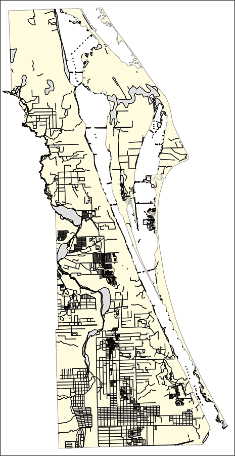
Description: This outline map was created by FCIT and shows the waterways of Brevard County. All major rivers, streams, creeks, canals, bays and lakes are present, but not labeled. For a student activity sheet with directions for labeling the following: St. Johns River, Poinsett Lake, Lake Winder, Indian River, Banana Creek, Banana River and Lake Washington click here.
Place Names: Brevard, St. Johns River, Poinsett Lake, Lake Winder, Indian River, Banana Creek, Banana River, Lake Washington
ISO Topic Categories: boundaries, inlandWaters
Keywords: Florida Waterways: Brevard County Outline without Labels, political, physical, kriversandstreams, physical features, county borders, photograph in shape of map, photo, Florida mapboundaries, inlandWaters, 2008
Source: Florida Center for Instructional Technology, (Tampa, FL: University of South Florida, 2008)
Map Credit: Courtesy of the Florida Center for Instructional Technology |
|