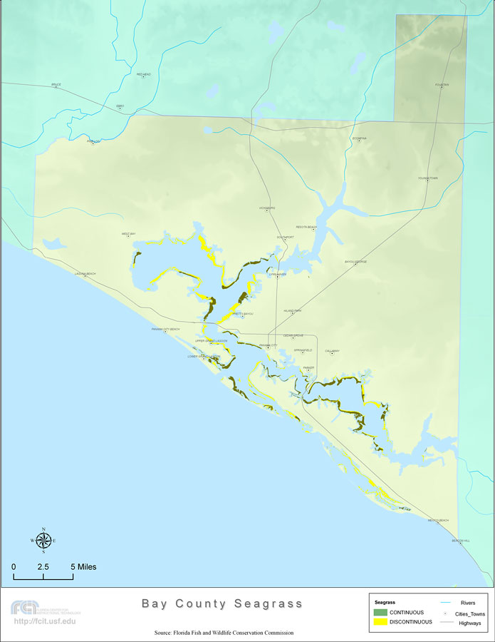
Description: This topographical map was created by FCIT and shows the seagrass distribution for Bay County. The green coloration depicts continuous seagrass while the yellow shows discontinuous seagrass. In addition to the seagrass, rivers, towns, and highways are shown. Some of the towns are Panama City, Springfield, and Callaway. The data used for this map was taken from a 1992 United States Geological Survey (USGS).
Place Names: Bay, Panama City, Fountain, Youngstown, Econfina, Bayou George, Resota Beach, Vicksburg, Southport, Lynnhaven, Hiland Park, Cedar Grove, Springfield, Parker, Callaway, Mexico Beach, Beacon Hill, Pretty Bayou, Upper Grand Lagoon, Lower Grand Lagoon, Panama City Beach, Laguna Beach, West Bay, Pine Log,
ISO Topic Categories: boundaries, inlandWaters, location, oceans, transportation, biota
Keywords: Florida Seagrass: Bay, political, physical, statistical, transportation, kseagrass, physical features, county borders, vegetation, roads, photograph in shape of map, photo, Florida mapboundaries, inlandWaters, location, oceans, transportation, biota, 2008
Source: Florida Center for Instructional Technology, Florida Fish and Wildlife Conservation Commission (Tampa, FL: University of South Florida, 2008)
Map Credit: Courtesy of the Florida Center for Instructional Technology |
|