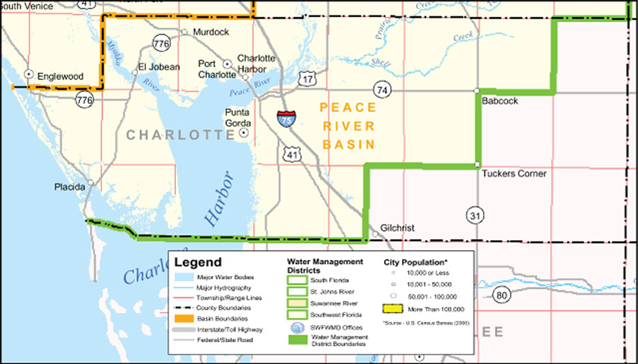
Description: This is a county detail map of Charlotte County extracted from the Southwest Florida Watershed Management District or SWFWMD district map, created on September 28, 2004. The district boundary is shown in green. It also shows major inland water, township/range lines (in pink), county boundaries, basin boundaries (orange), interstate roads, Federal/State roads, and city population.
Place Names: Charlotte, Peace River Basin, �Charlotte Harbor, �Port Charlotte, �Murdock, �El Jobean, �Englewood, �Placida, �Punta Gorda, �Myakka River, �Peace River
ISO Topic Categories: boundaries, �inlandWaters, �transportation, �geoscientificInformation
Keywords: Southwest Florida Water Management District- Charlotte County, physical, �political, �transportation, �hydrological, �watershed, �kwatershed, physical features, county borders, roads, boundaries, �inlandWaters, �transportation, �geoscientificInformation, Unknown,September 28, 2004
Source: Southwest Florida Water Management District Mapping and GIS Section, Southwest Florida Water Management District Map of Districts (Brooksville, FL: Southwest Florida Water Management District, September 28, 2004)
Map Credit: Courtesy of the Southwest Florida Water Management District |
|