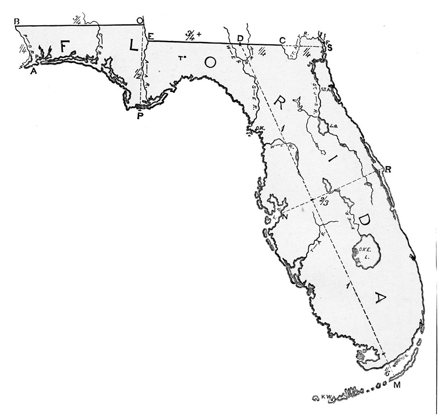
Description: This is a map of the state illustrating instructions for drawing Florida.
Place Names: 1860-1879, Tampa Bay, �Key West, �St. Johns River, �Lake George, �Lake Okeechobee
ISO Topic Categories: inlandWaters, �location
Keywords: Drawing of Florida, physical, physical features, inlandWaters, �location, Unknown,1872
Source: James Monteith, Comprehensive Geography (New York, NY: A. S. Barnes & Company, 1882) 39
Map Credit: The Private Collection of Roy Winkelman |
|