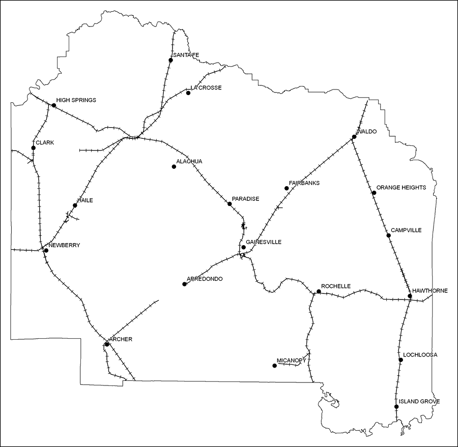
Description: This is a black and white railroad map of Alachua county, 2009. It also shows location of cities and towns including Gainesville and Micanopy.
Place Names: Alachua, Alachua, �Clark, �Paradise, �High Springs, �Newberry, �Haile, �Arredondo, �Archer, �Arrendondo, �Gainsville, �Gainesville, �Rochelle, �Micanopy, �Fairbanks, �Waldo , �Orange Heights, �Hawthorne, �Campville, �Lochloosa, �Island Grove, �La Crosse, �Santa Fe
ISO Topic Categories: boundaries, �transportation
Keywords: Alachua County Railway Network- Black and White, physical, �transportation, �political, county borders, railroads, boundaries, �transportation, Albers_Conical_Equal,2009
Source: Florida Center for Instructional Technology, Exploring Florida: Social Studies Resources �for Students and Teachers (Tampa, FL: University of South Florida, 2009)
Map Credit: Courtesy of the Florida Center for Instructional Technology, Author: Samer Slaiby |
|