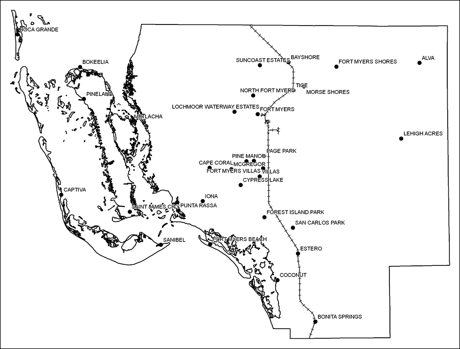
Description: This is a black and white railroad map of Lee county, 2009. It also shows location of cities and towns including Fort Myers and Cape Coral.
Place Names: Lee, Bonita Springs, �Bokeelia, �Boca Grande, �Captiva, �Punta Rassa, �Sanibel, �Cape Coral, �Alva, �Tice, �Ft. Myers, �Fort Myers Beach, �Fort Myers, �Pineland, �Matlacha, �Saint James City, �St. James City, �Coconut, �Iona, �Cypress Lake, �Forest Island Park, �San Carlos Park, �Estero, �North Fort Myers, �Page Park, �Lehigh Acres, �Fort Myers Villas, �Pine Manor, �McGregor, �Bayshore, �Suncoast Estates, �Morse Shores
ISO Topic Categories: boundaries, �transportation
Keywords: Lee County Railway Network- Black and White, physical, �transportation, �political, county borders, railroads, boundaries, �transportation, Albers_Conical_Equal,2009
Source: Florida Center for Instructional Technology, Exploring Florida: Social Studies Resources �for Students and Teachers (Tampa, FL: University of South Florida, 2009)
Map Credit: Courtesy of the Florida Center for Instructional Technology, Author: Samer Slaiby |
|