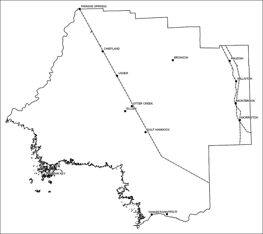
Description: This is a black and white railroad map of Levy county, 2009. It also shows location of cities and towns including Bronson and Gulf Hammock.
Place Names: Levy, Fanning Springs, �Chiefland, �Bronson, �Usher, �Raleigh, �Gulf Hammock, �Ellzy, �Cedar Key, �Morriston, �Williston, �Montbrook, �Otter Creek, �Ellzey, �Yankeetown, �Inglis
ISO Topic Categories: boundaries, �transportation
Keywords: Levy County Railway Network- Black and White, physical, �transportation, �political, county borders, railroads, boundaries, �transportation, Albers_Conical_Equal,2009
Source: Florida Center for Instructional Technology, Exploring Florida: Social Studies Resources �for Students and Teachers (Tampa, FL: University of South Florida, 2009)
Map Credit: Courtesy of the Florida Center for Instructional Technology, Author: Samer Slaiby |
|