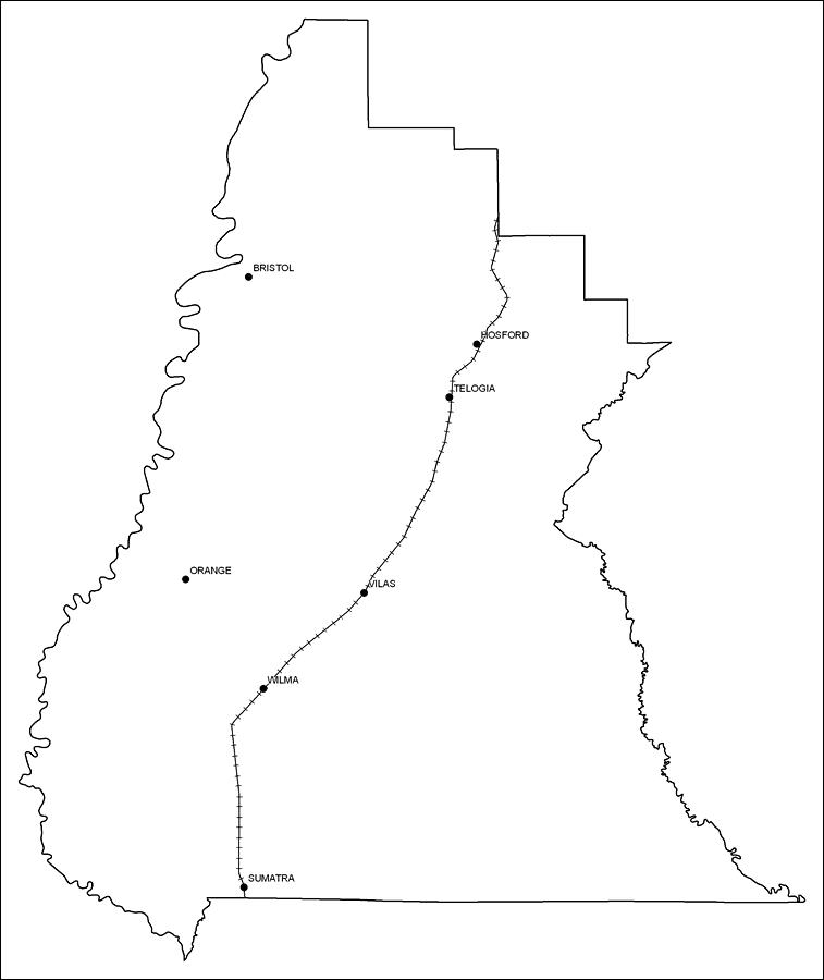
Description: This is a black and white railroad map of Liberty county, 2009. It also shows location of cities and towns including Bristol and Wilma.
Place Names: Liberty, Hosford, �Bristol, �Telogia, �Wilma, �Orange, �Sumatra, �Vilas
ISO Topic Categories: boundaries, �transportation
Keywords: Liberty County Railway Network- Black and White, physical, �transportation, �political, county borders, railroads, boundaries, �transportation, Albers_Conical_Equal,2009
Source: Florida Center for Instructional Technology, Exploring Florida: Social Studies Resources �for Students and Teachers (Tampa, FL: University of South Florida, 2009)
Map Credit: Courtesy of the Florida Center for Instructional Technology, Author: Samer Slaiby |
|