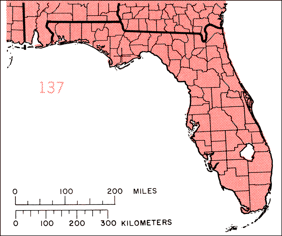
Description: This is a map showing the distribution of the Sambucus canadensis or American elder in Florida. "N.S. (Cape Breton Is.), P.E. Is., N.B., s. Quebec, Maine, w. to s. Ontario, n. Michigan, n. Minnesota, and se. Man., s. to e. N.D., w. Kansas, and nw., c., and s. Texas, and e. to s. Florida. Also introduced in West Indies, including Puerto Rico and Virgin Islands and n C. America." —Elbert L. Little, Jr. For more information, read the introduction to the Atlas of United States Trees Vol. 5 Florida.
Place Names: Temperate Hardwoods S-Z, natural distribution of native tree species
ISO Topic Categories: biota, boundaries, environment
Keywords: Sambucus canadensis or American elder, physical, political, forestry, trees, county borders, biota, boundaries, environment, Unknown,1978
Source: Elbert L. Little, Jr., Atlas of United States Trees Volume 5 Florida (Washington, D.C.: United States Government Printing Office, 1978)
Map Credit: United States Government Printing Office |
|