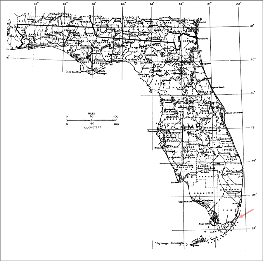
Description: This is a map showing the distribution of the Acacia choriophylla or cinnecord in Florida. "Very rare on on n. Key Largo in Upper Fla. Keys, not on Florida mainland (Alexander 1968). One tree found in 1967 may have been destroyed by a fire in 1975. Another was located in 1977. Bahamas and Cuba." —Elbert L. Little, Jr. For more information, read the introduction to the Atlas of United States Trees Vol. 5 Florida.
Place Names: Tropical Hardwoods A-C, natural distribution of native tree species
ISO Topic Categories: biota, boundaries, environment
Keywords: Acacia choriophylla or cinnecord, physical, political, forestry, trees, county borders, biota, boundaries, environment, Unknown,1978
Source: Elbert L. Little, Jr., Atlas of United States Trees Volume 5 Florida (Washington, D.C.: United States Government Printing Office, 1978)
Map Credit: United States Government Printing Office |
|