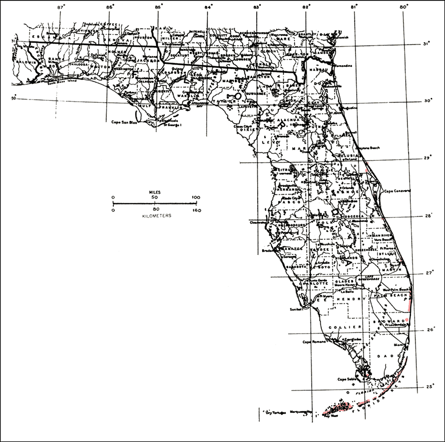
Description: This is a map showing the distribution of the Amyris elemifera or torchwood in Florida. "S. and e. Florida from Lower Fla. Keys n. along the Atlantic coast to Volusia Co. (also Nassau Co.). From Bahamas through West Indies incl. P.R. and V.I. C. Am. in Guatemala, Belize, Honduras, and El Salvador." —Elbert L. Little, Jr. For more information, read the introduction to the Atlas of United States Trees Vol. 5 Florida.
Place Names: Tropical Hardwoods A-C, natural distribution of native tree species
ISO Topic Categories: biota, boundaries, environment
Keywords: Amyris elemifera or torchwood, physical, political, forestry, trees, county borders, biota, boundaries, environment, Unknown,1978
Source: Elbert L. Little, Jr., Atlas of United States Trees Volume 5 Florida (Washington, D.C.: United States Government Printing Office, 1978)
Map Credit: United States Government Printing Office |
|