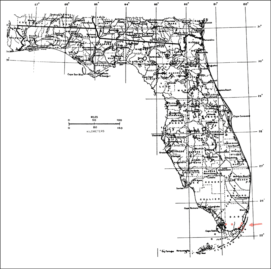
Description: This is a map showing the distribution of the Calyptranthes zuzygium or myrtle-of-the-river in Florida. "S. Florida, local on Key Largo and s. Dade Co. Also Bahamas and Greater Antilles including Puerto Rico." —Elbert L. Little, Jr. For more information, read the introduction to the Atlas of United States Trees Vol. 5 Florida.
Place Names: Tropical Hardwoods A-C, natural distribution of native tree species
ISO Topic Categories: biota, boundaries, environment
Keywords: Calyptranthes zuzygium or myrtle-of-the-river, physical, political, forestry, trees, county borders, biota, boundaries, environment, Unknown,1978
Source: Elbert L. Little, Jr., Atlas of United States Trees Volume 5 Florida (Washington, D.C.: United States Government Printing Office, 1978)
Map Credit: United States Government Printing Office |
|