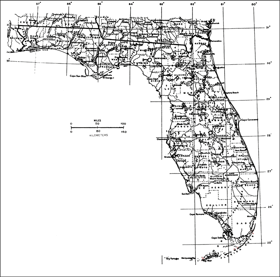
Description: This is a map showing the distribution of the Cereus robinii or key tree-cactus in Florida. "Very rare on Florida Keys (Big Pine, and Lower and Upper Matecumbe Keys; extinct on Key West and Key Largo), not on s. Fla. mainland. Also Cuba." —Elbert L. Little, Jr. For more information, read the introduction to the Atlas of United States Trees Vol. 5 Florida.
Place Names: Tropical Hardwoods A-C, natural distribution of native tree species
ISO Topic Categories: biota, boundaries, environment
Keywords: Cereus robinii or key tree-cactus, physical, political, forestry, trees, county borders, biota, boundaries, environment, Unknown,1978
Source: Elbert L. Little, Jr., Atlas of United States Trees Volume 5 Florida (Washington, D.C.: United States Government Printing Office, 1978)
Map Credit: United States Government Printing Office |
|