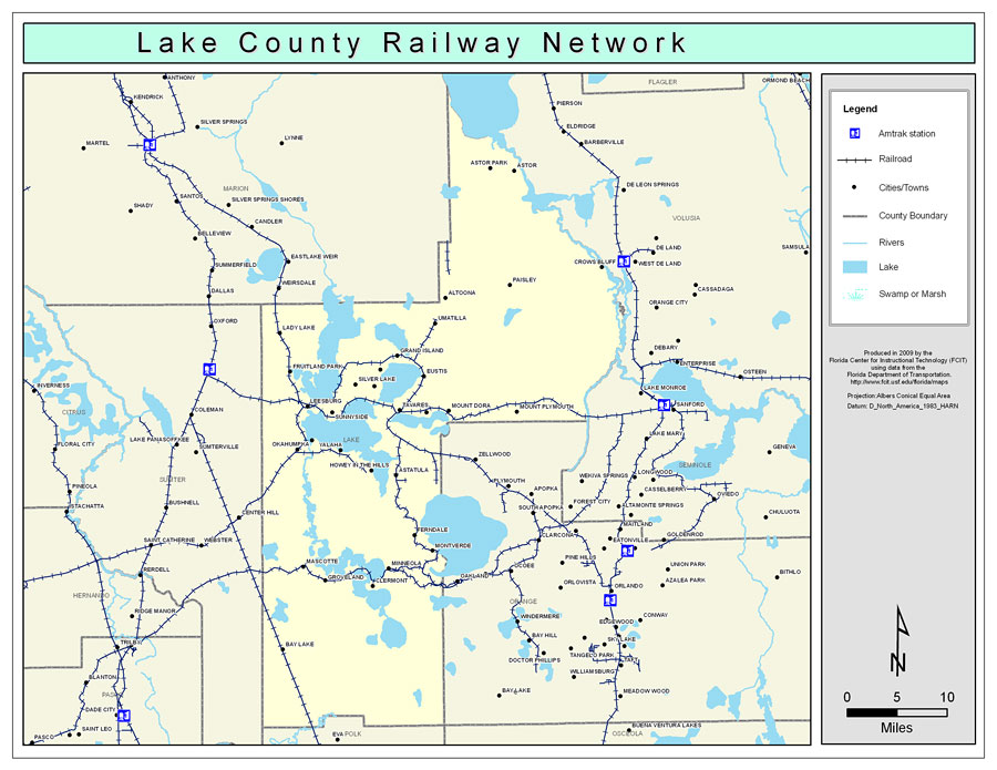
Description: This is a color railroad map of Lake county, 2009. It also shows location of cities and towns including Lady Lake and Leesburg, inland water including rivers and lakes, and Amtrak stations.
Place Names: Lake, Astor, �Astor Park, �Paisley, �Crows Bluff, �Altoona, �Umatilla, �Lady Lake, �Grand Island, �Silver Lake, �Eustis, �Mid Florida Lakes, �Fruitland Park, �Bassville Park, �Mount Dora, �Tavares, �Oakland Park, �Mount Plymouth, �Leesburg, �Sunnyside, �Okahumpka, �Howey In The Hills, �Astatula, �Ferndale, �Minneola, �Montverde, �Clermont, �Mascotte, �Groveland, �Bay Lake
ISO Topic Categories: boundaries, �transportation, �inlandWaters
Keywords: Lake County Railway Network- Color, physical, �transportation, �political, county borders, railroads, boundaries, �transportation, �inlandWaters, Albers_Conical_Equal,2009
Source: Florida Center for Instructional Technology, Exploring Florida: Social Studies Resources �for Students and Teachers (Tampa, FL: University of South Florida, 2009)
Map Credit: Courtesy of the Florida Center for Instructional Technology, Author: Samer Slaiby |
|