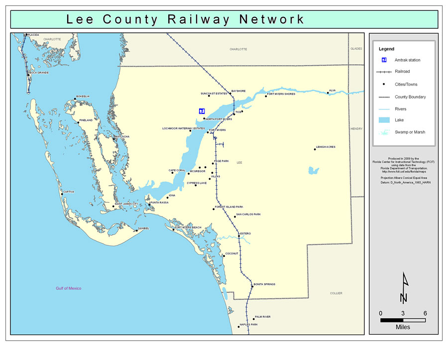
Description: This is a color railroad map of Lee county, 2009. It also shows location of cities and towns including Fort Myers and Cape Coral, inland water including rivers and lakes, and Amtrak stations.
Place Names: Lee, Bonita Springs, �Bokeelia, �Boca Grande, �Captiva, �Punta Rassa, �Sanibel, �Cape Coral, �Alva, �Tice, �Ft. Myers, �Fort Myers Beach, �Fort Myers, �Pineland, �Matlacha, �Saint James City, �St. James City, �Coconut, �Iona, �Cypress Lake, �Forest Island Park, �San Carlos Park, �Estero, �North Fort Myers, �Page Park, �Lehigh Acres, �Fort Myers Villas, �Pine Manor, �McGregor, �Bayshore, �Suncoast Estates, �Morse Shores
ISO Topic Categories: boundaries, �transportation, �inlandWaters
Keywords: Lee County Railway Network- Color, physical, �transportation, �political, county borders, railroads, boundaries, �transportation, �inlandWaters, Albers_Conical_Equal,2009
Source: Florida Center for Instructional Technology, Exploring Florida: Social Studies Resources �for Students and Teachers (Tampa, FL: University of South Florida, 2009)
Map Credit: Courtesy of the Florida Center for Instructional Technology, Author: Samer Slaiby |
|