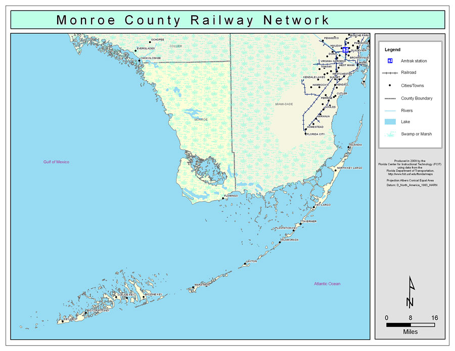
Description: This is a color map of Monroe county, 2009. It also shows location of cities and towns including Key West and Key Largo, inland water including rivers and lakes, and Amtrak stations.
Place Names: Monroe, Key Largo, �Tavernier, �Islamorada, �Layton, �Marathon, �Big Pine, �Key West, �Stock Island, �Cud Joe Key, �Summerland Key, �Big Coppitt Key, �Big Pine Key, �Marathon Shores, �Plantation Key, �North Key Largo, �Flamingo
ISO Topic Categories: boundaries, �transportation, �inlandWaters
Keywords: Monroe County Railway Network- Color, physical, �transportation, �political, county borders, railroads, boundaries, �transportation, �inlandWaters, Albers_Conical_Equal,2009
Source: Florida Center for Instructional Technology, Exploring Florida: Social Studies Resources �for Students and Teachers (Tampa, FL: University of South Florida, 2009)
Map Credit: Courtesy of the Florida Center for Instructional Technology, Author: Samer Slaiby |
|