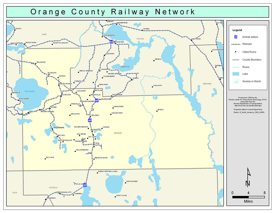
Description: This is a color railroad map of Orange county, 2009. It also shows location of cities and towns including Orlando and Winter Park, inland water including rivers and lakes, and Amtrak stations.
Place Names: Orange, Zellwood, �Apopka, �Plymouth, �South Apopka, �Lockhart, �Clarcona, �Maitland, �Eatonville, �Fairview Shores, �Winter Park, �Orlando, �Azalea Park, �Union Park, �Pine Hills, �Oak Ridge, �Belle Isle, �Pine Castle, �Pinecastle, �Tangelo Park, �Holden Heights, �Conway, �Edgewood, �Sky Lake, �Meadow Wood, �Williamsburg, �Lake Buena Vista, �Bay Lake, �Windermere, �Winter Garden, �Oakland, �Ocoee, �Doctor Phillips, �Bay Hill, �Orlovista, �Taft
ISO Topic Categories: boundaries, �transportation, �inlandWaters
Keywords: Orange County Railway Network- Color, physical, �transportation, �political, county borders, railroads, boundaries, �transportation, �inlandWaters, Albers_Conical_Equal,2009
Source: Florida Center for Instructional Technology, Exploring Florida: Social Studies Resources �for Students and Teachers (Tampa, FL: University of South Florida, 2009)
Map Credit: Courtesy of the Florida Center for Instructional Technology, Author: Samer Slaiby |
|