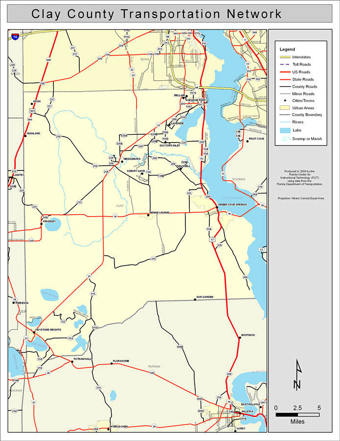
Description: This is a color road map of Clay county, 2009. It shows the location of many roads including US-17 and SR-16, cities and towns, and inland water.
Place Names: Clay, Bellair, �Orange Park, �Kingsley, �Green Cove Springs, �Middleburg, �Black Creek, �St. Johns River, �Saint Johns River, �Russell, �Asbury Lake, �Penney Farms, �Sun Garden, �Highland, �Hugh, �Doctors Inlet, �Lakeside, �Keystone Heights
ISO Topic Categories: boundaries, �transportation, �inlandWaters
Keywords: Clay County Road Network- Color, transportation, �political, �physical, �kroads, �kroadscolor, county borders, roads, boundaries, �transportation, �inlandWaters, Albers_Conical_Equal,2009
Source: Florida Center for Instructional Technology, Exploring Florida: Social Studies Resources �for Students and Teachers (Tampa, FL: University of South Florida, 2009)
Map Credit: Courtesy of the Florida Center for Instructional Technology, Author: Samer Slaiby |
|