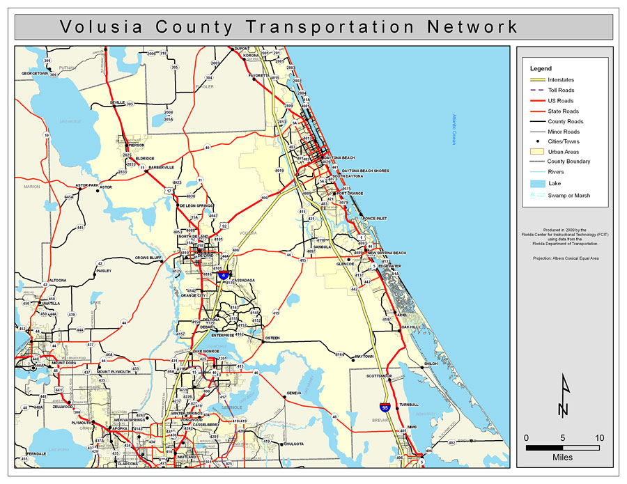
Description: This is a color road map of Volusia county, 2009. It shows the location of many roads including US-92 and I-4, cities and towns, and inland water.
Place Names: Volusia, Daytona Beach, �Port Orange, �Ponce Inlet, �DeLand, �Casadaga, �Cassadaga, �De Land, �De Leon Springs, �DeLeon Springs, �Atlantic Ocean, �Daytona Beach Shores, �New Smyrna Beach, �New Smyrna, �Glencoe, �Samsula, �Osteen, �Ariel, �Oak Hill, �Orange City, �Seville, �Pierson, �Eldridge, �Barberville, �Astor, �Deltona, �Debary
ISO Topic Categories: boundaries, �transportation, �inlandWaters
Keywords: Volusia County Road Network- Color, transportation, �political, �physical, �kroads, �kroadscolor, county borders, roads, boundaries, �transportation, �inlandWaters, Albers_Conical_Equal,2009
Source: Florida Center for Instructional Technology, Exploring Florida: Social Studies Resources �for Students and Teachers (Tampa, FL: University of South Florida, 2009)
Map Credit: Courtesy of the Florida Center for Instructional Technology, Author: Samer Slaiby |
|