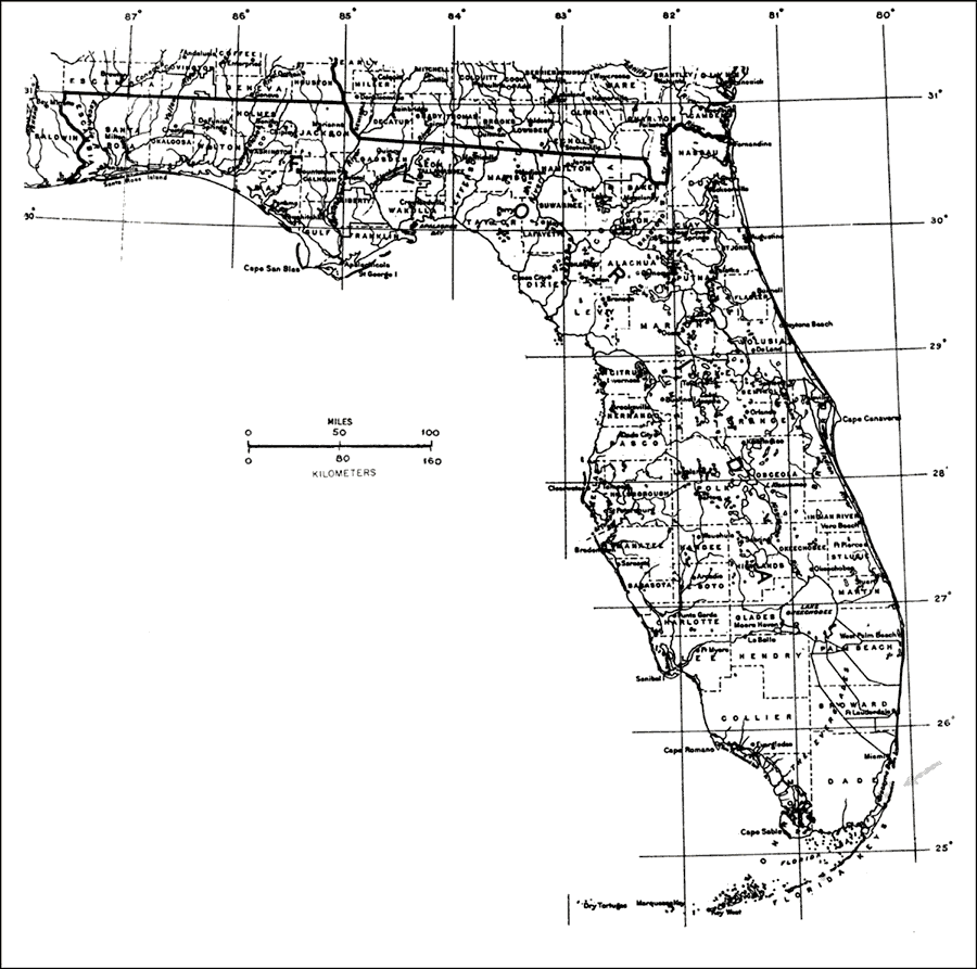
Description: This is a map showing the distribution of the Pseudophoenix sargentii or buccaneer-palm in Florida. "Very rare on 3 Upper Florida Keys, absent from s. Florida mainland (almost extinct except in cultivation). Bahamas, Cuba, Navassa, Hispaniola, Saona, Mona (could be extinct), and Dominica. Also se. Mexico and Belize." —Elbert L. Little, Jr. For more information, read the introduction to the Atlas of United States Trees Vol. 5 Florida.
Place Names: Tropical Hardwoods O-Z, natural distribution of native tree species
ISO Topic Categories: biota, boundaries, environment
Keywords: Pseudophoenix sargentii or buccaneer-palm, physical, political, forestry, trees, county borders, biota, boundaries, environment, Unknown,1978
Source: Elbert L. Little, Jr., Atlas of United States Trees Volume 5 Florida (Washington, D.C.: United States Government Printing Office, 1978)
Map Credit: United States Government Printing Office |
|