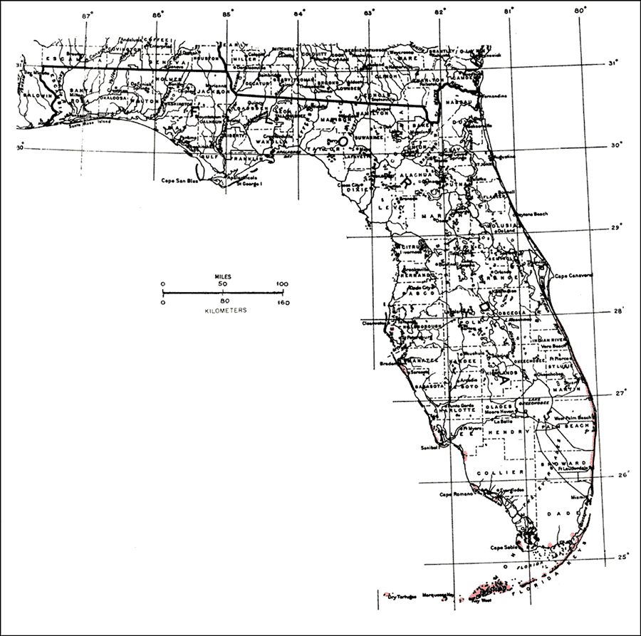
Description: This is a map showing the distribution of the Suriana maritima or baycedar in Florida. "Shores of c. and s. Florida incl. Florida Keys w. to Marquesas Key and Dry Tortugas, n. on e. coast to s. Brevard Co. and on w. coast to Pinellas Co. Widely distributed on shores of tropical America from Bermuda and Bahamas through West Indies incl. P.R. and V.I. Also Atlantic coast from se. Mexico to Columbia and Brazil. Also in Old World tropics and Pacific Is." —Elbert L. Little, Jr. For more information, read the introduction to the Atlas of United States Trees Vol. 5 Florida.
Place Names: Tropical Hardwoods O-Z, natural distribution of native tree species
ISO Topic Categories: biota, boundaries, environment
Keywords: Suriana maritima or baycedar, physical, political, forestry, trees, county borders, biota, boundaries, environment, Unknown,1978
Source: Elbert L. Little, Jr., Atlas of United States Trees Volume 5 Florida (Washington, D.C.: United States Government Printing Office, 1978)
Map Credit: United States Government Printing Office |
|