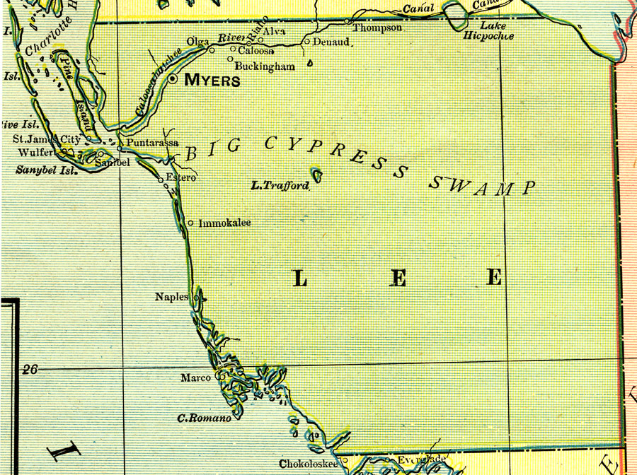
Description: A map of Lee County showing county lines, the county seat (Myers), and cities current to 1902.
Place Names: Lee, Ft. Myers, Tice, Immokalee, Naples, Marco, Alva, St. James City, Sanibel
ISO Topic Categories: boundaries, inlandWaters, oceans
Keywords: Lee County, physical, political, physical features, county borders, boundaries, inlandWaters, oceans, Unknown,1902
Source: George F. Cram, (Chicago, IL: George F. Cram, 1902)
Map Credit: Courtesy the private collection of Roy Winkelman. |
|