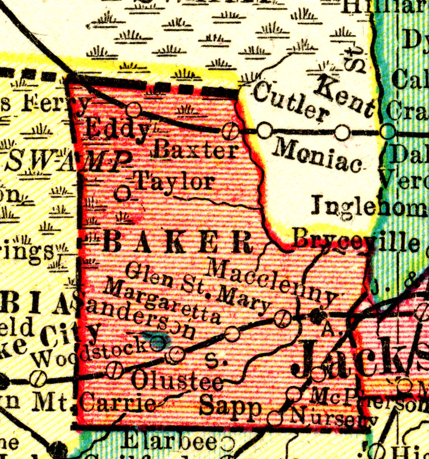
Description: A map of Baker County showing county lines and railroads connecting the major cities current to 1911.
Place Names: Baker, Macclenny, Baxter, McPherson, Sanderson, Olustee, Eddy, Margeretta, Taylor
ISO Topic Categories: boundaries, inlandWaters, transportation
Keywords: Baker County, physical, political, transportation, physical features, county borders, railroads, boundaries, inlandWaters, transportation, Unknown,1911
Source: , Popular Series (Chicago, IL: Geographical Publishing Co., 1911)
Map Credit: Courtesy the private collection of Roy Winkelman. |
|