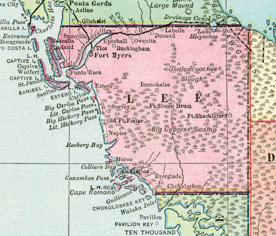
Description: A map of Lee County showing county lines, swamps, canals, and railroads connecting the major cities current to 1911.
Place Names: Lee, Ft. Myers, Tice, Immokalee, Naples, Marco, Alva, St. James City, Sanibel, Punta Rassa, Captiva
ISO Topic Categories: boundaries, inlandWaters, oceans, transportation
Keywords: Lee County, physical, political, transportation, swamps, Everglades, wetlands, physical features, county borders, railroads, water routes, boundaries, inlandWaters, oceans, transportation, Unknown,1911
Source: , Popular Series (Chicago, IL: Geographical Publishing Co., 1911)
Map Credit: Courtesy the private collection of Roy Winkelman. |
|