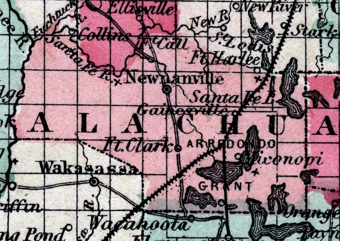
Description: Map of Alchua county, current to 1860, shows county lines, major roads, rivers, and railroads.
Place Names: Alachua, Alachua, Newnansville, Gainsville, Ft. Clark, Arrondondo
ISO Topic Categories: boundaries, transportation
Keywords: Alachua County, physical, political, historical, transportation, physical features, county borders, railroads, boundaries, transportation, Unknown,1860
Source: Johnson, A.J., Johnson's New Illustrated Family Atlas (New York, New York: Johnson and Browning, 1860) 40
Map Credit: Courtesy the private collection of Roy Winkelman. |
|