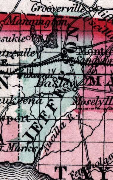
Description:
Place Names: ,
ISO Topic Categories:
Keywords: , physical, political, historical, physical features, county borders, railroads, 1860
Source: Johnson, A.J., Johnson's New Illustrated Family Atlas (New York, New York: Johnson and Browning, 1860) 40
Map Credit: Courtesy the private collection of Roy Winkelman. |
|