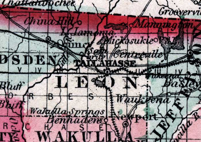
Description: This is a map of Leon County showing the county seat and state capital at Tallahassee, other towns and villages, inland waters such as Lake Iamonia, railroads, and common roads.
Place Names: Leon, Tallahassee, Miccosukee, Mickosukie, Centreville, Mannington, Wakulla Springs, Forbes Purchase, Lake Iamonia
ISO Topic Categories: boundaries, inlandWaters, transportation
Keywords: Leon, physical, political, historical, transportation, physical features, county borders, country borders, railroads, roads, boundaries, inlandWaters, transportation, Unknown,1860
Source: Johnson, A.J., Johnson's New Illustrated Family Atlas (New York, NY: Johnson and Browning, 1860) 40
Map Credit: Courtesy the private collection of Roy Winkelman. |
|