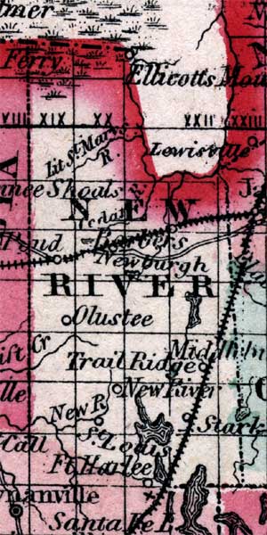
Description: This is a map of New River County showing towns and villages such as New River, inland waters such as the Little St. Marys River, railroads, and common roads.
Place Names: New River, Olustee, New River, Trail Ridge, St. Louis, Stark, Starke, Barbers, Ellicotts Mound, Little St. Marys River, Newburg, Newburgh, Cedar River
ISO Topic Categories: boundaries, inlandWaters, transportation
Keywords: New River, physical, political, historical, transportation, physical features, county borders, country borders, railroads, roads, boundaries, inlandWaters, transportation, Unknown,1860
Source: Johnson, A.J., Johnson's New Illustrated Family Atlas (New York, NY: Johnson and Browning, 1860) 40
Map Credit: Courtesy the private collection of Roy Winkelman. |
|