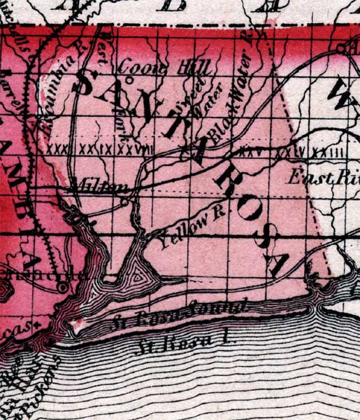
Description: This is a map of Santa Rosa County showing towns and villages such as Milton, inland waters such as the Black Water River, railroads, and common roads.
Place Names: Santa Rosa, Milton, Coon Hill, Black Water River, Sweet Water, Santa Rosa Island, Santa Rosa Sound, Yellow River, Escambia River, Gulf of Mexico
ISO Topic Categories: boundaries, inlandWaters, oceans, transportation
Keywords: Santa Rosa, physical, political, historical, transportation, physical features, county borders, country borders, railroads, roads, boundaries, inlandWaters, oceans, transportation, Unknown,1860
Source: Johnson, A.J., Johnson's New Illustrated Family Atlas (New York, NY: Johnson and Browning, 1860) 40
Map Credit: Courtesy the private collection of Roy Winkelman. |
|