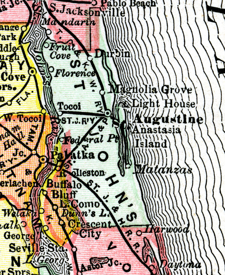
Description: A map of St. Johns County showing county lines, the county seat (St. Augustine), railroads, and cities current to 1890.
Place Names: St. Johns, Anastasia Island, St Augustine, Fruit Cove, Tocoi
ISO Topic Categories: inlandWaters, boundaries, transportation, oceans
Keywords: St. Johns County, physical, political, transportation, physical features, county borders, railroads, inlandWaters, boundaries, transportation, oceans, Unknown,1890
Source: , (, : Rand McNally & Co., 1890)
Map Credit: Courtesy the private collection of Roy Winkelman. |
|