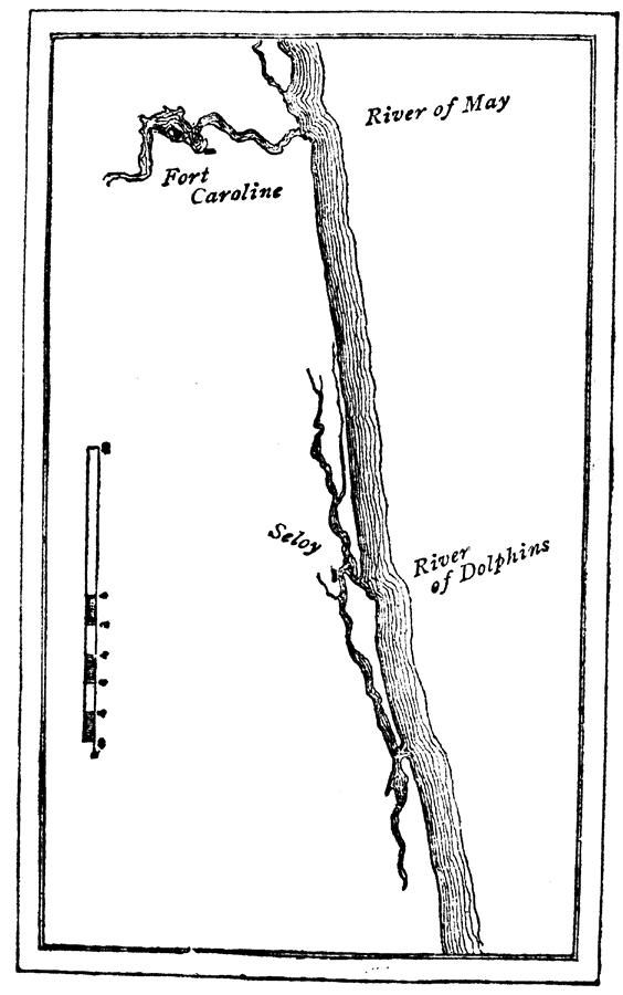
Description: Map shows hisorical Fort Caroline located off of the River of May and the River of Dolphins. Map was drawn in 1565 shortly after Fort Caroline was built.
Place Names: Before 1700, Saint Augustine
ISO Topic Categories: inlandWaters
Keywords: Old St. Augustine, physical, historical, inlandWaters, Unknown,August 29, 1565
Source: Charles B. Reynolds, Old Saint Augustine (St. Augustine, FL: E. H. Reynolds, 1888) 19
Map Credit: Courtesy the private collection of Roy Winkelman |
|