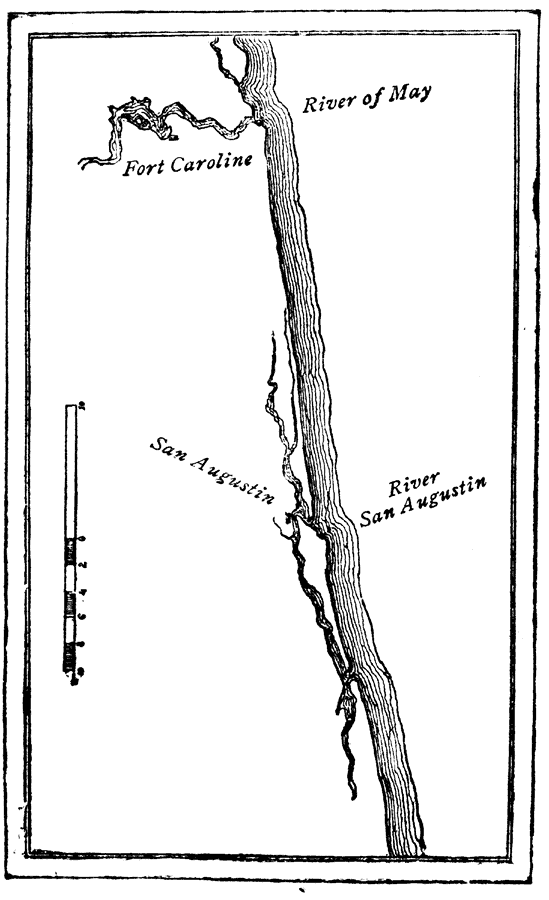
Description: Map showing Fort Caroline on the River of May. Shows San Augustin located on the newly named River San Augustin.
Place Names: Before 1700, Saint Augustine
ISO Topic Categories: inlandWaters
Keywords: Old St. Augustine, physical, historical, inlandWaters, Unknown,1565
Source: Charles B. Reynolds, Old Saint Augustine (St. Augustine, FL: E. H. Reynolds, 1888) 28
Map Credit: Courtesy the private collection of Roy Winkelman |
|