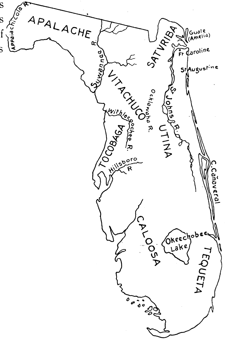
Description: Map shows the locations of Indian Tribes in Florida during the 16th Century. Shows major lakes, rivers, St. Augustine and Ft. Caroline
Place Names: State, Indian land cessions
ISO Topic Categories: inlandWaters, society, oceans
Keywords: Indian Tribes of the 16th Century, physical, political, historical, physical features, inlandWaters, society, oceans, Unknown,1600
Source: Edwin L. Green, School History of Florida (Baltimore, MA: Williams & Wilkins Company, 1902)
Map Credit: Courtesy the private collection of Woy Winkelman |
|