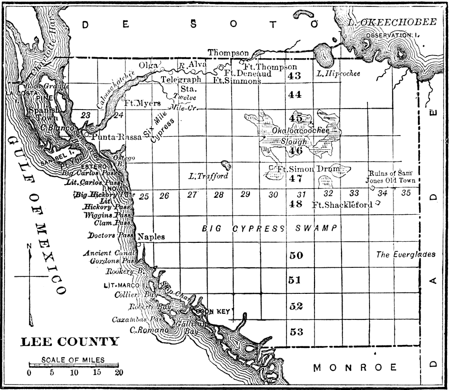
Description: A map of Lee County showing the county seat (Fort Myers), cities, towns, rivers, and lakes present in 1890. Also shows Big Cypress Swamp.
Place Names: Lee, Ft. Myers, Punta Rassa, Sanibel, Alva, Boca Grande, Naples
ISO Topic Categories: inlandWaters, oceans, boundaries
Keywords: Lee County, physical, political, physical features, county borders, inlandWaters, oceans, boundaries, Unknown,1890
Source: Charles Ledyard Norton, A Handbook of Florida (New York, NY: Longmans, Green, & Co., 1890) 50
Map Credit: Courtesy the private collection of Roy Winkelman |
|